


CuantaIA group
CUANTICO's applied research group, with researchers in Bogotá, Cali, Cartagena, Manizales, the United States and Spain.
What is CuantaIA?
CuantaIA is CUANTICO's applied research group on artificial intelligence for society, a research group recognized by MinCiencias, Colombia's Ministry of Science, Technology and Innovation. It was founded in 2022 and is led by Daniel Medina, CUANTICO's CEO and Chief Scientific Officer.
Its three main lines are Earth observation, public health and public safety, and its research areas also cover municipal management, public procurement, mobility, agriculture and tourism. What matures becomes a product, such as CUANTICO Earth AI, and what it publishes is open access.
Every model goes through five stages: data, model, validation, deployment and monitoring. Ethics and data governance run through all of them, and in public health every alert must be explainable.
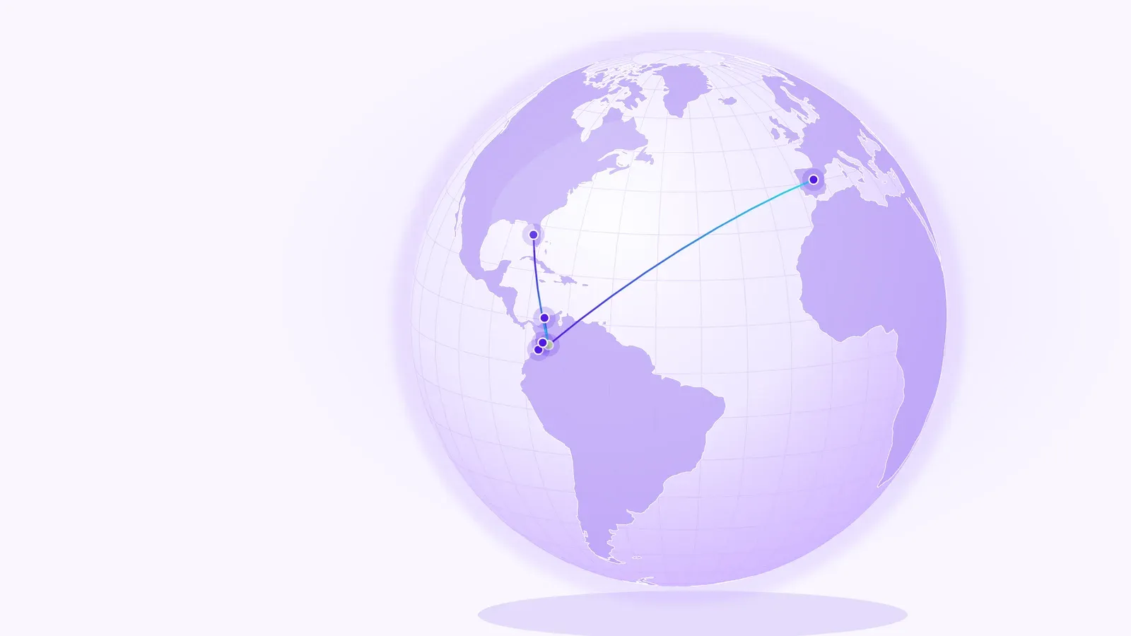
Its researchers work from Bogotá, Cali, Cartagena, Manizales, the United States and Spain. These are where the team works, not CUANTICO offices.
Research areas
These are the group's research lines, not products in operation. For each area, the problem it studies and the kind of data or model it works with; where a page of this site develops the area, the card links to it.
Public safety
Models that group territories by their pattern of reported crimes and project the case series to anticipate risks and guide prevention.
See Public safetyMunicipal management and digital government
How to turn a municipality's scattered data into decisions and information for citizens, with demographic profiles based on DANE population projections.
See GovTechPublic finance and procurement
Models that relate public procurement to territories' quality of life and forecast contracting from the history of Colombia's public procurement system (SECOP), to detect risk patterns and guide investment.
Mobility
Analysis of the traffic events that Waze for Cities users report (congestion, accidents, hazards and road closures) by time of day and area, to anticipate congestion and prioritize road interventions.
See Earth observationClimate change and biodiversity
Models that combine Sentinel-2 imagery, NASA POWER climate series and land cover to anticipate climate and environmental degradation risks and assess the vulnerability of ecosystems.
See Earth observation3D geoportals and urban digital twins
Digital twins of the territory in 3D, with high-precision maps and predictive models, for urban planning, emergency management and citizen participation.
See Earth observationAgriculture
Agroclimatic maps, vegetation indices (NDVI) and yield prediction to turn data into recommendations for planting, irrigation and crop management.
See Earth observationHealth
Models that combine epidemiological, climate and mobility data to anticipate outbreaks of diseases such as dengue and Zika and explain each alert.
See Public healthTourism
How to combine mobility, visitor capacity, price and review data to plan a destination's tourist load and spread spending across the local economy.
Publications
Data, protocols, books and documents from the group. Each one with its public record when it has one.
- See it on Zenodo (opens in a new tab)
Dataset · Zenodo, CC BY 4.0 · 2026
Extraction table for a systematic review of AI/ML models for early prediction of infectious disease outbreaks (2024–2025)
DOI 10.5281/zenodo.21980058
- Discover the book
Book · being edited
GovTech in Emerging Countries
Group document (in Spanish) · 2025
Estado del Arte del Grupo de Investigación CuantaIA
Group document (in Spanish) · 2025
Plan Estratégico CuantaIA (2022-2030)
Research team

Daniel Medina
Director of the CuantaIA group
MIT alumnus (Program for Management, Innovation and Technology), Ph.D. candidate in Computer Science, M.Sc. in Data Science and master’s in Security and Defense. More than 20 years as a consultant and advisor on digital transformation and digital government. Digital Personality of the Year 2019.
Join the AI team
Want to do research with the group? Applications to the CUANTICO team go through our Careers page.
CUANTICO Earth AI
The group's research turned into a product: AI models for the analytics and foresight of cities and territories, built on Sentinel-2 imagery and NASA POWER climate series.